")
")


Landscape
The river landscape of the Maas and Niers region is surrounded by three special types of landscape: the moraine landscape, the Maashedges landscape and the Maasdunes. All three have their own specific development history and their own flora and fauna.
The Moraine landscape:
This landscape was formed some 200,000 years ago by an enormous glacier which stretched from the North Pole to this area. This pushed the earth forwards thus forming the moraine. The melting of the glacier ice later grinded out the dry valleys.
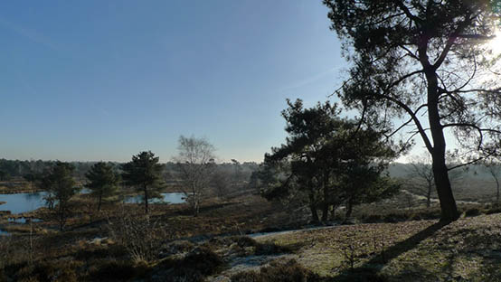
In the Land of Maas and Niers the Mookerheide (a large heath area), the St Jansberg (a nature reserve with a hilly landscape) and the Reichswald are all part of the moraine. It is an area with inclined forests, small tranquil lakes, bubbling brooks, sunken roads and heaths. The hills are up to 90 metres high and are covered with ancient deciduous forests and pine-forests. It is situated to the north and the east of Gennep.
Water from the various springs used to supply the marshlands of which now only a few remain. Names such as de Diepen and de Hel date from those days. In this area now lies the Mookerplas, a large lake where people can come to enjoy wind-surfing, sailing and swimming.
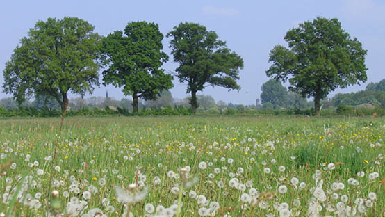
The Maasdunes landscape:
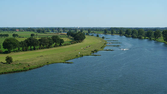
The dunes take up an area with a length of 50 km. These river dunes stretch from the moraine area near Mook to beyond Venlo in the south. They were formed about 10,000 years ago due to the fact that, for centuries in row, the westerly winds swept up the sand from the dry riverbeds and deposited it on the other bank. It consequently became the largest inland dune area in Europe.
There are vast heaths with fens and sand drifts. The growth of excess vegetation is kept under control with grazers such as goats, Galloway cattle, horses and flocks of sheep with a shepherd. The national park Maasduinen (Maasdunes) begins south of Gennep. Here you will find an area known as the Quin with close by a watchtower which offers a view over the Maas and Niers countryside. It is one of the most characteristic nature reserves in the Maasdunes area.
The Maashedges landscape:
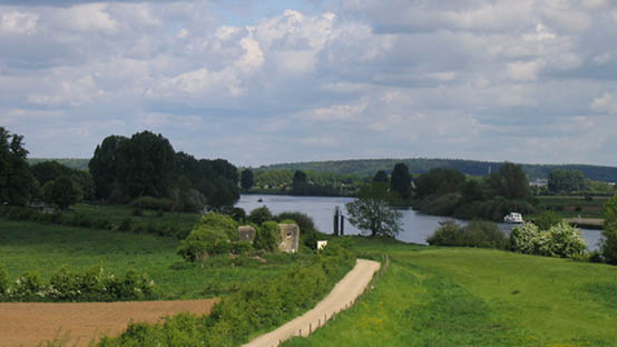
The Maashedges landscape is situated within the river forelands of the Maas and is distinguished by its numerous small parcels separated from each other by Hawthorn and Blackthorn hedges. On the Brabant Province side of the river the Maashedges landscape is at its best.
The centuries old landscape is unique in Western Europe. Whereas in other places for the most part the hedges have been substituted by barbed-wire fences, here the landscape is still as it was described by Julius Caesar in his book Bello Gallico 2000 years ago. The hedges, which were wattled (=twined and plaited) by the inhabitants, annoyed him as they made it difficult for his armies to pass through the area.
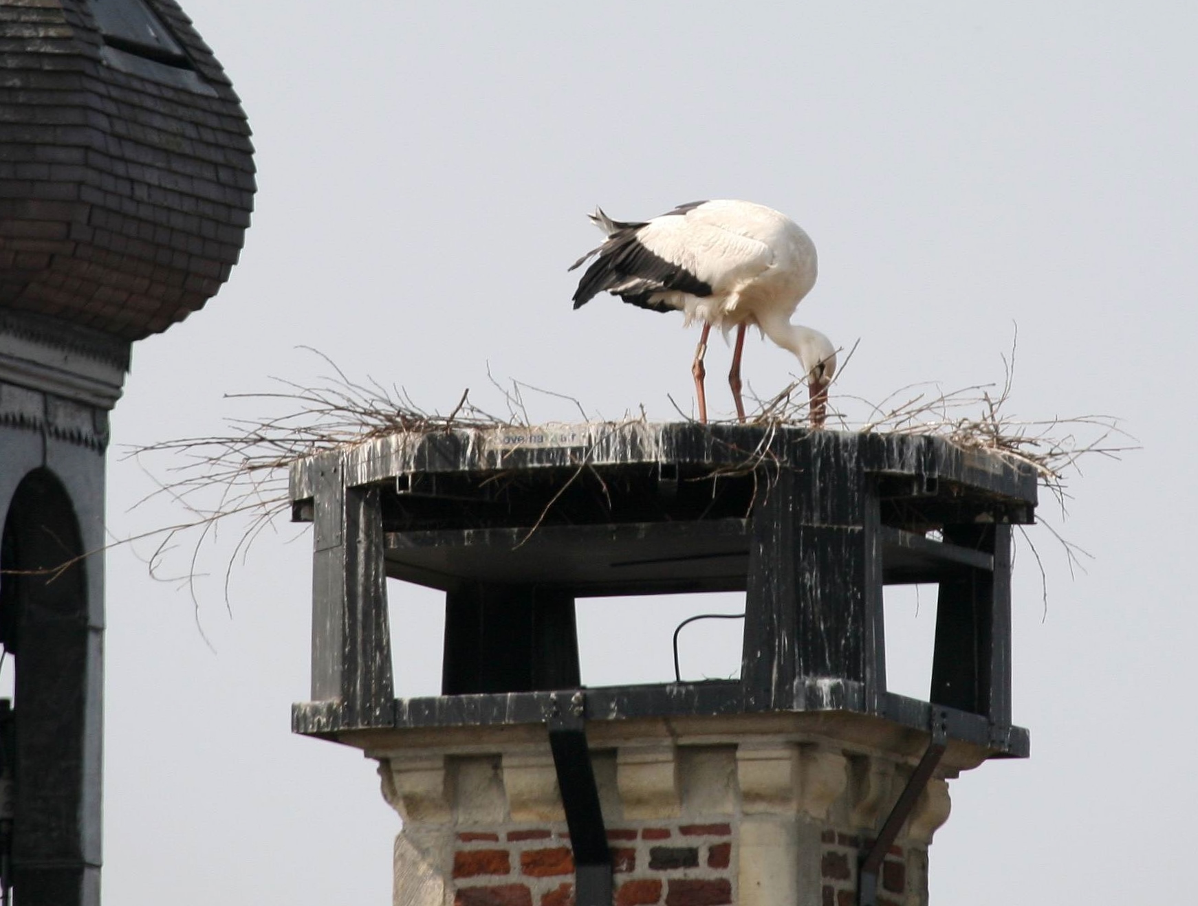
The fact that the Maashedges landscape has been preserved so well is due to the sludge which was trapped and held by the hedgerows during the annual floods, enriching the natural fertility of the area. The landscape emanates an ancient atmosphere with its winding sand paths in between the fields full of flowers, cattle and a great variety of birds. Many plants and animals find excellent shelter amongst the thorny hedgerows.
Nowadays a lot is being done to repair the hedges. Annually a hedge wattling competition is organized, partly to promote the craft and to keep it alive. A documentary shows you scenes of the old craft and the championships.